Rafting in Remote Tasmania
 Dave just spent a fantastic 10 days rafting 120 km down the Franklin River in the remote Tasmanian world heritage area. Video clips coming soon.
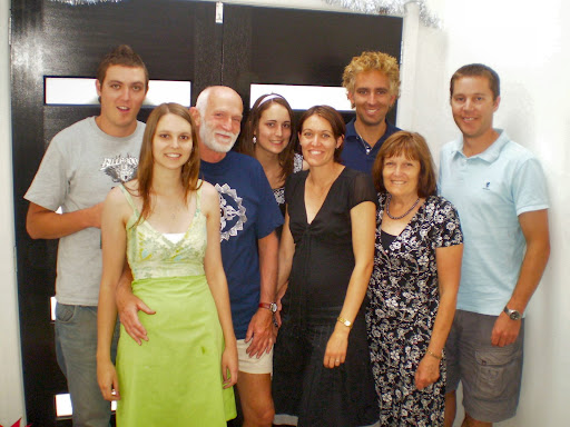
To see some pictures of the trip click here.
There is also a detail guide map of the river here
To see how wild and remote this area is, see the route in Google Earth; click here and then save or open the kml file to show the route, and then, click here and open the kml file to take the tour. You can pause the tour and zoom in, out and around at any point.
Depending on your settings you may have to save the kml files and then use File/Open to open them in Google Earth. This also needs a fairly recent version of GoogleEarth.
If those links play up, RightClick-SaveTargetAs and RightClick-SaveTargetAs should get you the kml files


1 comment:
Great photos! What an adventure! You went a long way in 6.40 minutes!!! Thanks to Google Earth!!!
Post a Comment